There has never been a better time to assess the potential of GPS-based solutions for your towing and recovery business.
With the convergence in mobile technologies, there has been an explosion in the number and diversity of available solutions – options that can make a material difference in the performance of your business.
Before laying out the options, first some perspectives to set the stage:
- “GPS” ain’t just what it used to be. “If past history were all there was to the game, the richest people in the world would be librarians” – Warren Buffet. GPS used to be expensive, and all about knowing where your trucks are. GPS navigation is now on your smart phone and all about operational productivity.
- One size does not fit all. The competitor to be feared is one who never bothers you at all, but goes on making his own business better” – Henry Ford. The proliferation of GPS “bells and whistles” continues and often commands too much attention. The hard part in selecting among GPS-based offerings is looking past the sizzle to choose the right steak to make your business better. How could real-time information improve how you dynamically, better manage operations?
- Tomorrow won’t be like today. Gretsky said it well: “A good hockey player plays where the puck is. A great hockey player plays where the puck is going to be.” The right “GPS choice” for your company should solve not only the issues of today, but position your business for the competitive challenges of tomorrow.
“Tracking” used to be the big idea. This remains important, but today GPS is often a component part in a broader solution to drive significant increases in operational productivity – both in the office, and in the field. I have found it helpful to think along a spectrum of options with four levels:
Level 1 – Tracking, while the most basic capability, tracking offers for many companies the highest short-term return. It addresses key owner concerns:
- Where are my trucks (my most expensive assets)?
- Are my drivers staying “on task”? Are they pocketing revenue from jobs that they are doing on the side?
The more feature-rich offerings will have Input/Output connections as part of the black box to track events on the truck (e.g., engine and/or PTO “On” and “Off”), show truck travel history (“breadcrumbs”), monitor truck speed, and create “geo fences” to alert dispatchers when drivers are straying into areas where they should not be. Importantly the black boxes are attached to and are tracking trucks (not drivers). The approach centers on driver supervision.
Level 2 – Guiding builds on the basic tracking of the “black box” by adding a user interface in the truck for drivers. This could be a ruggedized device or a derivative of a consumer product – such as a Garmin or Tom Tom. The user interface assists the driver in navigating to the incident and destination addresses. The better options in this category will first locate addresses on the map of the GPS product in the office, and then transmit the GPS coordinates to the device in the truck so that drivers do not need to enter any address details. A variant of this approach is to send an email to a driver’s phone with addresses that the driver can manually enter into the Garmin. This avoids the cost of the “black box”, but delivers a lower gain in productivity. Level 2 adds capabilities that benefit drivers – assistance with logistics.
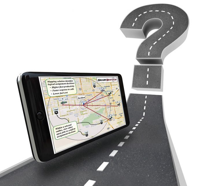
The major differentiator in getting to Level 3 – Deploying is to have a GPS solution that is fully integrated with the dispatch solution. In Level 1 and 2, dispatchers will typically be looking at one screen from one provider for truck location, and a different screen from a different provider for dispatching – sometimes on one monitor! The underlying applications are different and so the synchronization of information between the systems is inherently limited. Level 3 solutions meet two key characteristics:
- The GPS tracking/mapping component shows not only truck location, but also truck type, and truck status/availability (provides a complete picture in one screen for dispatchers) along with a list of jobs.
- The mapping and dispatching components are intrinsically “in sync” – they share the same information database. Given the integrated design, updates to dispatch and mapping happen simultaneously. Detailed information on calls and open jobs is available and displayed on the map.
In Level 3, the integration of GPS tracking/mapping with dispatching creates the opportunity for major improvements in dispatching – dispatchers have all the requisite information for better assignment decisions available on the map for visual dispatch. Better call assignment in turn drives improved utilization of trucks and drivers. The better Level 3 solutions will also incorporate mobile messaging in the truck to collect vehicle information (e.g., VIN, odometer) and service delivery details (e.g., Extras, dropped location in storage lot).
Level 4 – Reinventing sounds a bit pretentious. However, integration of the dispatching solution with GPS tracking/mapping enables next generation operational productivity processes that go beyond presenting better information. For example, in dispatch:
- Recommending the most logical trucks for dispatchers to assign to a new job (automatically identifying trucks that are close by and soon to be available) to enable better deployment decisions
- Enabling dispatchers to assign calls from the map if they choose – i.e., drag and drop a truck onto the “pin” representing an open job to improve speed/efficiency and to make assignment easier. When assigned, call details are sent automatically to the driver’s mobile device
- Providing “dashboards” so that dispatch becomes a control tower with real-time indicators and alerts for fuel efficiency, validity of incident and destination addresses, truck speed, and call progress vs. plan
In addition, by leveraging advances in mobile technology, it is now both practical and affordable to extend the operational processes of the office to the truck. This includes forwarding account-specific pricing parameters (and GPS calculated mileage estimates) to the truck. With this, the mobile device can calculate the correct pricing, and the driver can process the customer’s credit card while on-site. Companies can move away from the ticket book and print invoices in the truck. With the convergence of mobile technology, the business process capabilities are integrated with the same device that provides GPS information – ranging from your Android smart phone or tablet, to a Wi Fi device of your choosing that connects to a mobile hot spot in the truck (that also provides GPS and monitors/reports truck events – e.g., PTO on/off).
So what does all of this mean for you? What are the levers in your business to improve operational productivity? Among the growing range and scope of mobile/GPS possibilities, which approach gives you the biggest “bang for the buck” – now, and into the future? The growing application of GPS in the industry is making it competitive “table stakes”. How should you use GPS-based solutions to keep your company among the leaders in operational productivity?
“If you are driving comfortably around the track, you are probably going too slow” (Mario Andretti).
The author – Jim Shellhaas – is the founder and president of Ranger SST (Ranger Service Solutions Technology, LLC), a towing software and mobile communications company providing dispatching, two-way mobile messaging, GPS tracking/mapping, and impound-lot management solutions for the towing and recovery industry. Towers are invited to call Jim and the Ranger team anytime for consultation at 440-498-1495.
Also, see www.RangerSST.com for more information.


